 
Subscribe Free
The Daily Perth

Local News, Perth. Every Day.

Multiple Sources. Transparent Technology.

Weather

Perth Weather Today

Live rain radar, current conditions, an hour-by-hour outlook and a seven-day forecast for Perth, with original writing about the city's climate from The Daily Perth.

Today's briefing

21°C and clear right now in Perth, heading for a top of 22°C. Overnight down to 12°C. UV is high, so cover up midday.

Weather

Perth weather

21°C

Clear now, 22°C / 12°C today.

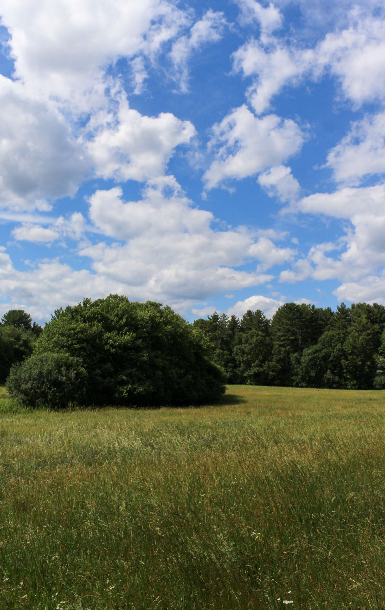
Photo by John Cronin on Pexels · credit and licence

21°C

Clear · feels like 20°C

Today
22°C / 12°C
Humidity
50%
Wind
11 km/h NE
UV index
6 · High
Sunrise
6:22 am
Sunset
6:05 pm
Updated
1:29 pm

Next 24 hours

  1. Now

    20°C

    0%

  2. 2pm

    22°C

    0%

  3. 3pm

    22°C

    0%

  4. 4pm

    22°C

    0%

  5. 5pm

    21°C

    0%

  6. 6pm

    20°C

    0%

  7. 7pm

    18°C

    0%

  8. 8pm

    18°C

    0%

  9. 9pm

    17°C

    0%

  10. 10pm

    16°C

    0%

  11. 11pm

    15°C

    0%

  12. 12am

    14°C

    0%

  13. 1am

    14°C

    0%

  14. 2am

    14°C

    0%

  15. 3am

    14°C

    0%

  16. 4am

    13°C

    0%

  17. 5am

    13°C

    0%

  18. 6am

    13°C

    0%

  19. 7am

    13°C

    0%

  20. 8am

    14°C

    0%

  21. 9am

    17°C

    0%

  22. 10am

    19°C

    0%

  23. 11am

    21°C

    0%

  24. 12pm

    22°C

    0%

Live rain radar

Drag to pan, scroll the page over it

Animated rain radar via RainViewer (Bureau of Meteorology sources). Full Bureau of Meteorology radar loop.

Tomorrow's Perth forecast, in your inbox

Wake up to the day's forecast and the morning's top Perth stories — a 2-minute read, every weekday. Free.

By subscribing you agree to receive emails from The Daily Perth and accept our Privacy Policy. Unsubscribe anytime.

Seven-day forecast

  1. Thu

    Partly cloudy

    22°C 12°C

    Rain 0%

  2. Fri

    Overcast

    23°C 13°C

    Rain 0%

  3. Sat

    Drizzle

    19°C 13°C

    Rain 100%

  4. Sun

    Overcast

    18°C 13°C

    Rain 8%

  5. Mon

    Partly cloudy

    22°C 11°C

    Rain 3%

  6. Tue

    Partly cloudy

    25°C 13°C

    Rain 4%

  7. Wed

    Drizzle

    29°C 18°C

    Rain 12%

Air quality

31

Good

US AQI

PM2.5
6
PM10
10
Ozone
64

Air quality by Open-Meteo (CAMS), in µg/m³.

Sun and moon

Sunrise
6:22 am
Sunset
6:05 pm
Daylight
11h 43m

New moon

3% lit

From the weather desk

Perth weather, explained

How to read the Perth forecast

A good forecast is really three views at once. The current panel tells you what it feels like outside right now, which is what matters before you head out the door. The hourly strip is for planning the next part of your day: when the rain band arrives, when the wind picks up, when it is warm enough to walk. The seven-day outlook is for the week ahead, and it is most reliable in the first three or four days. Read it from the top down and you will almost always have what you need for Perth.

What the UV index actually means

The UV index rates the strength of the sun's ultraviolet radiation on a simple scale. Below 3 is low and you can be outside safely without protection. From 3 to 7 is moderate to high, the point at which sunburn becomes likely within an hour, so a hat and sunscreen earn their keep. Above 8 is very high to extreme, and skin can burn in minutes around the middle of the day. The index peaks at solar noon, not at the hottest part of the afternoon, so the safest habit is to check the number rather than judge by the temperature.

Why the overnight low matters as much as the high

Daytime maximums get the headlines, but the overnight minimum shapes how the day actually feels. A cold night means a slow, crisp start and, on clear evenings, the chance of fog or frost before dawn. A mild night means the warmth carries over and the morning is comfortable from the outset. Clear skies let heat escape and push the low down; cloud cover traps it and keeps the night warmer. That is why two days with the same maximum can feel completely different depending on the night that came before.

Common questions

Perth weather FAQ

How often is the Perth weather forecast updated?

We refresh current conditions and the outlook regularly through the day, so the temperature, hourly strip and rain radar reflect the latest data. The seven-day outlook is recalculated as new model runs come in.

How accurate is the seven-day forecast for Perth?

The first three to four days are the most reliable. Accuracy tapers over the back half of the week, so treat the far end of the outlook as a guide to the trend rather than a firm promise. For plans in the next day or two, the hourly strip is the most dependable view.

What does "feels like" temperature mean?

The "feels like", or apparent, temperature blends the air temperature with humidity, wind and sunshine to estimate how the conditions actually feel on your skin. Wind and low humidity make it feel colder than the thermometer reads, while high humidity and strong sun make it feel warmer.

Where does the Perth weather data come from?

Forecasts and current conditions are sourced from Open-Meteo, which aggregates leading national weather models. Perth coverage is independent and not affiliated with any government weather agency.
Perth severe weather alerts

Get a heads-up when frost, storms or extreme heat are on the way for Perth — flagged in your morning brief. Free, unsubscribe anytime.

By subscribing you agree to receive emails from The Daily Perth and accept our Privacy Policy. Unsubscribe anytime.

What's on this weekend in Perth

Things to do →

See everything on in Perth this weekend →

Latest from the Daily Network editorial team

See all news →

Weather data by Open-Meteo. The Daily Perth is independent and not affiliated with any government weather agency.

The Daily Network — local news across Australia